
Research Shows Carbon Emitting Peat Extraction Figures Vastly Unreported
Published:
Our research on peatland carbon dynamics and land use change has gained significant media attention, highlighting the critical gap between reported and actual carbon emissions from peat extraction activities in Ireland.
The Research Behind the Headlines
My work at Trinity College Dublin, focusing on mapping and monitoring peatland land use changes, has revealed concerning discrepancies in how peat extraction activities are reported and their actual carbon emissions impact. Using advanced satellite imagery analysis and machine learning techniques, we've been able to quantify land use changes across Irish peatlands with unprecedented accuracy.
The fieldwork component of this research involved extensive data collection across various peatland sites throughout Ireland, combining ground-truth measurements with satellite observations to validate our remote sensing methodologies. This integrated approach ensures the reliability and accuracy of our carbon emission assessments.
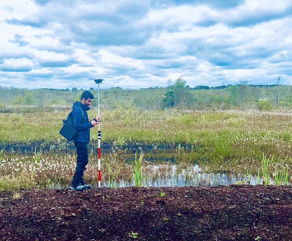
Collecting field data in Lullymore, Ireland
Key Findings
Underreported Extraction Activities
Our satellite-based analysis reveals that the scale of peat extraction activities has been significantly underreported in official statistics. By analysing multi-temporal satellite imagery spanning over three decades, we’ve documented extraction activities that weren’t captured in traditional reporting mechanisms.
Carbon Emissions Implications
The research demonstrates that actual carbon emissions from peatland disturbance are substantially higher than previously estimated. This has significant implications for Ireland’s national greenhouse gas reporting and climate commitments.
Methodological Innovation
We employed cutting-edge approaches including:
- Google Earth Engine cloud computing for processing large satellite datasets
- Machine learning classification algorithms for automated land use detection
- Multi-temporal analysis to track changes over 30+ years
- Field validation to ensure accuracy of remote sensing assessments
Policy Implications
The findings have important implications for:
- National Carbon Accounting: More accurate reporting of land use change emissions
- Climate Policy: Better understanding of sectoral contributions to national emissions
- Conservation Planning: Prioritising intact peatlands for protection
- Restoration Strategies: Targeting degraded areas for restoration efforts
Media Coverage
The research was featured prominently in the Irish Examiner, bringing important scientific findings to public attention and policy discourse.
Looking Forward
This work underscores the critical importance of:
- Improved Monitoring Systems: Using satellite technology for continuous environmental monitoring
- Transparent Reporting: Ensuring accuracy in national emissions inventories
- Science-Based Policy: Using robust data to inform environmental decisions
- International Collaboration: Sharing methodologies for global peatland monitoring
The Bigger Picture
Peatlands are amongst the world’s most important carbon stores, containing approximately 30% of global soil carbon despite covering only 3% of land surface. Accurate monitoring and protection of these ecosystems is crucial for meeting international climate targets.
Our research demonstrates how advanced geospatial technologies can reveal environmental changes that might otherwise go undetected, providing essential data for evidence-based environmental policy and conservation action.
This research is part of my broader work on peatland ecosystem monitoring at Trinity College Dublin, supported by the Environmental Protection Agency of Ireland and various international collaborators.